Texarkana Braces For Possible Winter Mix Including Snow
Enjoy the nice weather while you can because it's about to change dramatically this weekend heading into the coldest weather of the season by Monday.
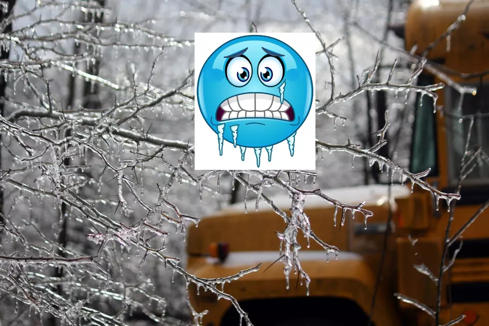
According to meteorologists from KSLA-TV, a strong cold front is headed our way early Friday morning with storms ramping up across much of the area overnight. Severe storms and gusty winds are possible across much of the Ark-La-Tex but should come to an end by late Friday. However, temperatures should begin to decline throughout the remainder of the day into the 40s as we brace for two Polar arctic blasts of air that will plunge Texarkana and the surrounding area into a frigid deep freeze for at least a couple of days beginning Sunday night into Monday.
This will be some of the coldest air of the season with the possibility of a wintery mix in the form of freezing rain, sleet, ice, and even some snow farther north. The Arkansas Department of Transportation is already preparing for adverse traffic conditions across much of Arkansas.
The website Pivotal Weather shows that the Ark-La-Tex could get up to 5 inches of snow in some areas. Right now weather models are showing a 40 percent of precipitation but that could change over the coming days and with the track of the storm.
Temperatures are expected to fall into the teens by Monday night with windy conditions making it feel like single digits in some areas. Northern parts of Arkansas can expect temperatures to fall into the single digits.
Folks should start preparing now by protecting plants, pets, and exposed pipes and letting faucets drip starting Sunday night. If you have a generator make sure they are weather ready in case of a power outage. It's always better to be prepared than not at all.
Oh. and don't forget to stock up on some groceries this weekend too.
TIPS: Here's how you can prepare for power outages
More From Kicker 102.5