More Winter Weather Possible Wednesday Night
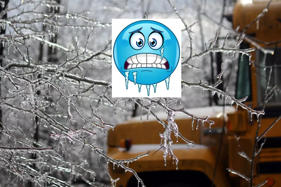
Another round of winter weather is possible across our area Wednesday night into early Thursday. A mixture of freezing rain, sleet, and snow is in the forecast.Just how much and what type of precipitation will fall is not known as of yet. But the National Weather Service in Shreveport is keeping an eye on the developing situation. Here is what they are forecasting for the time period Tuesday into Thursday morning.
Two to four inches of snow are possible as well as up to a quarter inch of ice accumulation.
THIS HAZARDOUS WEATHER OUTLOOK IS FOR PORTIONS OF SOUTH CENTRAL
ARKANSAS...SOUTHWEST ARKANSAS...NORTH CENTRAL LOUISIANA...
NORTHWEST LOUISIANA...SOUTHEAST OKLAHOMA...EAST TEXAS AND
NORTHEAST TEXAS.

.DAY ONE...TODAY AND TONIGHT...

NO HAZARDOUS WEATHER IS EXPECTED.

.DAYS TWO THROUGH SEVEN...TUESDAY THROUGH SUNDAY...

SCATTERED TO NUMEROUS THUNDERSTORMS ARE POSSIBLE TUESDAY INTO WEDNESDAY.
A FEW STORMS MAY APPROACH SEVERE LIMITS AHEAD OF A COLD FRONT TUESDAY
NIGHT. HOWEVER...NO WIDESPREAD SEVERE WEATHER IS EXPECTED. AFTER THE
THUNDERSTORMS...A PERIOD OF FREEZING RAIN...SLEET...AND SNOW MAY OCCUR
OVER PORTIONS OF THE AREA AS TEMPERATURES FALL BELOW FREEZING
WEDNESDAY NIGHT. TWO TO FOUR INCHES OF SNOW AND BETWEEN A TENTH
TO A QUARTER OF AN INCH OF ICE MAY BE POSSIBLE ACROSS SOUTHWEST
ARKANSAS AND SOUTHEAST OKLAHOMA.
We will keep you up to date with any new weather information.
More From Kicker 102.5